Access to the starting point:
Take road C-25 (Eix transversal) from either Vic or Manresa up to the exit for Santa Maria d’Oló, and go on along the BV-4315 road up to Oló. The starting point is at the very entrance to the town, in Catalunya square.
Description of the itinerary:
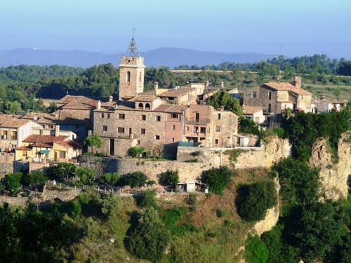
From the square, take the main street which crosses the Sant Antoni Maria Claret square and head uphill to the schools, where you will reach the first viewpoint (Mirador del cingle de Cal Macari). From there, go uphill towards Cal Colltort path and take the narrow uphill path from the football pitch. Cross the Santa Eulàlia stream and go up the Cal Tripeta hill to reach the second viewpoint. Further on, cross the Santa Eulàlia suburb, the Sella plain, cal Vilar, cal Bach and head towards the old part of the village up to the Baix Square, where you will reach the third viewpoint.
The itinerary, on the way back, continues downhill along the Costa Street, an atypical straight one, and finishes in Catalunya Square.
Points of interest along the route:
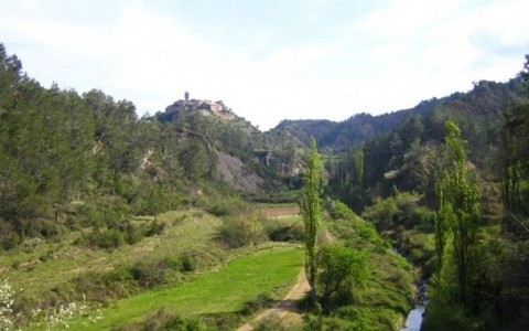
From the viewpoints you will discover the surrounding landscape, with plenty of small valleys and hill ranges. You will also learn about the origins of the village of Oló, its development, and finally, the bonds of its inhabitants with the territory.
Technical data and signposting
- Distance: 5 km
- Climb: +180 m
- Means: on foot
- Length: about 2 hours
- Path: 90% urban path and 10% country path
- Suitability: suitable for everyone
- Signposting: painted markers
- Route colour: Red


