Riera d’Oló Route
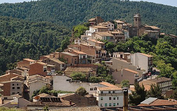
The Riera d’Oló (Oló Stream) is located within the Espai Natural Protegit del Moianès (Moianès Protected Natural Space). The source of the river is in the Moianès plateau, on the north face of Puig Rodó, and it crosses the municipal district of Santa Maria d’Oló from north-east to south-west before flowing into the Riera Gavarresa. The Riera d’Oló flows through a unique landscape, with abrupt contours formed by the water: gullies, gorges, waterfalls, cliffs and river terraces. The sedimentary rocks (shale, red rock, grey rock and limestone) provide nutrients to the water leading to a wide diversity of flora and some exceptional fauna.
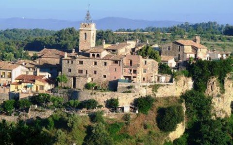
The Riera d’Oló path is a 14km long circular route. It starts in Santa Maria d’Oló, follows the river downstream until Sant Joan Vell and then heads back up to the town passing along the shaded side of the Tosqueres I les Marrades mountain range.
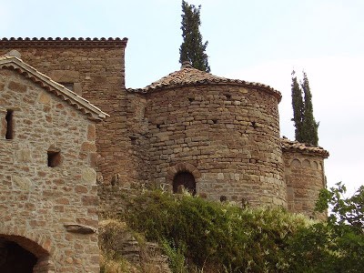
The route can be followed on foot or by bicycle, guided by informational panels which you will discover along the way. Information is provided on the stream’s habitats and environment, today’s landscape and how it was in the past, how a flour mill worked, the geological formation of the Riera d’Oló valley and the Romanesque church Sant Joan Vell. Finally, you will be able to enjoy panoramic views of the Pyrenees.
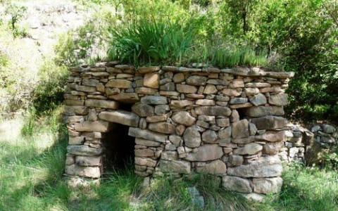
You will be able to observe the Bray d’Oló formation, the riverside forest, wine huts and dry-stone walls, as well as experiencing the area’s historic heritage with the Altimires flour mill and the former parish church Sant Joan Vell.


