Calders River Path
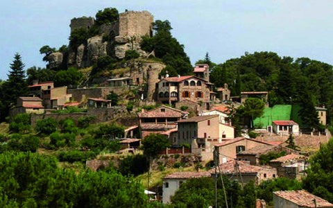
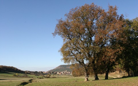
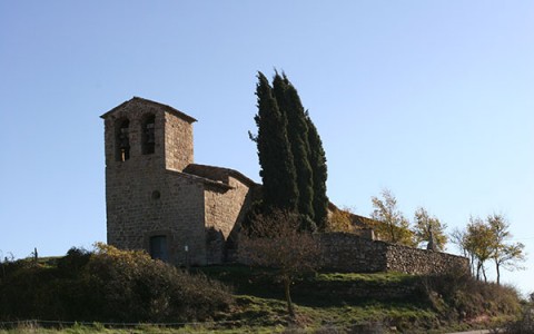
This path will allow you to discover unique corners of the Calders municipal district. You will see restored heritage sites such as the Blanquer mill, the Pertegàs tombs or the lime kilns; admire almost pharaonic engineering works such as the Viladecavalls canal; imagine you are textile workers in the Jorba factory or peasant farmers in times gone by, storing your tools in wine huts. You can stop to cool down in the Angle and Les Tàpies fountains, or nod off under majestic oaks.
THE 3 ROUTE VARIATIONS
OPTION 1 Forat Micó: After 5.3km we can return to Calders (+ 4.28km) whilst contemplating beautiful views of the meandering river and the castle plain. We arrive at the area of the La Guàrdia viewpoint.
Option 2 from the Clot del Soldat: At km 7.12 we return to Calders via the Canadell area, with the option to join up with the route to Tàpies or returning to the town (+ 3,85km).
Option 3 from Les Tàpies: This option is designed to take a circular route around the Tàpies area and
take in the “royal path” and is not to be seen as a shortcut. We can find the detour at km 19.31, and it takes us back to Calders (+ 6km) via the Pla de les Quingles and Torracabota.
Offshoots: You will find up to 13 detours to points of interest (for their heritage, nature or scenery) along the path. These are not circular, so you will need to go back to the main path via the way you came. You will find them marked with a single yellow mark (the time needed to visit these sites is not included in the general description).
+INFO
Denominació: PR-C 197 Sender del riu Calders ( Sender de petit recorregut homologat per la FEEC)
Punt de Sortida: Recorregut circular des de la Plaça Major de Calders.
Distància: 25,40 Km. Alçada màxima: 556 m. Alçada mínima: 256 m. Desnivell acumulat: 794 m. Durada: 6 hores a peu aprox.
Tipus de terreny: Carretera 4% / Pista forestal 44 % / Sender 52 %
Fonts: Tobareu aigua a la Font de Comelles, Colónia Jorba, St. Pere de Viladecavalls, Font de l’Angle, Font de les Tàpies i Font de les Quingles. (Només a la Colònia és aigua controlada sanitàriament)
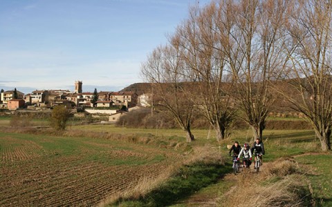
Dificultat: És un camí de bon fer, sense massa desnivells. La principal dificultat n’és la llargada, ja que els seus 25 km fan que calgui dedicar-hi força estona si es vol fer tot. Les 3 variants i connexions amb altres camins ens permeten diverses opcions i més d’un itinerari. D’aquesta manera, es podran descobrir molts dels racons del terme de Calders. El sender està pintat amb ratlles blanques i grogues de Pr. Hi ha petites derivacions a elements patrimonials i naturals… marcades amb una sola ratlla groga. Es pot fer a peu, en btt i a cavall. Entre el Forat Micó i el Molí del Blanquer hi ha algun punt de més dificultat on s’aconsella agafar una pista alternativa amb més bona pista per a cavalls. Cal tenir també en compte que es travessa el riu unes quantes vegades i que, en èpoques de pluges fortes, pot ser que ens haguem de mullar els peus.
Senyalització: Ratlles grogues i blanques de PR
Coordenades: UTM en Datum European 1950


