Access to the starting point:
Take road C-25 from either Vic or Manresa until you get to the exit for Santa Maria d’Oló and from there go along the BV-4315 road to Oló. At the entrance to the village you will find a square called Plaça Catalunya, which is the starting point of the route.
Description of the itinerary:
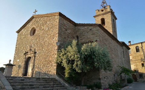
From the square, go down the main street through the Sant Antoni Maria Claret square and past the new church of Santa Maria. Continue through the narrow streets and then along the path, descending until you cross the Oló stream. From this point onwards, going north-east, follow the path that goes along the Oló stream until you get to the footbridge and the paved road called La Salada. After an uphill section of about 50 meters, leave the paved road and take the path that leads to the Brai viewpoint. On the way back, return to La Salada and follow the road, going past the Cal Macari cliff, until reaching the village.
Points of interest along the route:
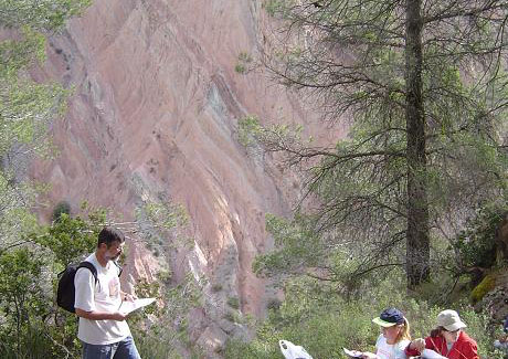
The Oló stream, the views from La Costa street and from the top of the village, the Brai viewpoint and the Segimon hills. Also noteworthy is the Cal Macari cliff with its diversity of strata colours.
Technical data and signposting:
- Distance: 2 km
- Climb: +100 m
- Means: on foot
- Time: about 2 hours
- Route: 50% track and 50% path
- Suitability: suitable for everyone
- Signposting: painted markers
- Route colour: orange


