Access to the starting point:
Take road C-25 (Eix transversal) from either Vic or Manresa up to the exit towards Santa Maria d’Oló, and go on along the road BV-4315 up to Oló. The starting point is at the very entrance to the town, in Catalunya square.
Description of the itinerary:
From the square, go along the main street, heading past the Sant Antoni Maria Claret square and the new Santa Maria church. Carry on along the narrow streets, and then along the small downward path until reaching the Oló stream. Cross the stream and head south-west, going downstream along the riverside until reaching Sant Joan Vell. From this point, head back passing along the shaded side of the Plans and Moratones hills until you reach the Marrades trail. From there, go back to the village along the same way you came.
Points of interest along the route:
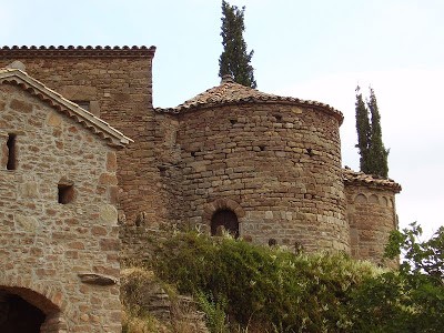
The Oló stream and the riverside forest, the Roc fountain, the Coix flour mill aqueduct, the Altimires flour mill, the Sant Joan Vell chapel, the Plans cliffs viewpoint, and the Bruixes fountain. Visits to the top of the village are also noteworthy.
Technical data and signposting:
- Distance: 14 km
- Climb: +275 m
- Means: mountain bike or on foot
- Length: about 5 hours
- Path: 50% track and 50% narrow path
- Suitability: medium difficulty
- Signposting: banderoles
- Route colour: green


