The Route of Sant Andreu
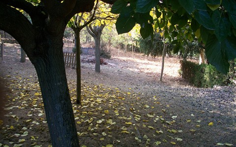
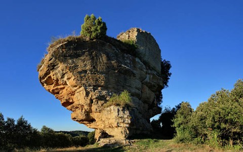
This route is 4.2km long with a total altitude difference of 115m. We start by taking the path to the left of the Local Social which leads down towards the Castellcir stream. We continue along the Sant Andreu path (indicated with a post put there by the Diputació de Barcelona), crossing the Roca gulley and the Castellcir stream and arriving at the Sant Andreu church. We cross the stream again and begin the climb, passing: El Puig / Camí del Puig/ Pi Gros/ Pla del Puig and returning to the starting point.
The route is recommended for people who enjoy walking, as we will have to traverse a forest path, a rocky narrow track and a steep slope.
+INFO
Longitud: 4,2 Km. Durada: 1h. 30m. Dificultat: Alta


