Access to the starting point:
Take road C-25 road from either Vic or Manresa until you get to the exit for Santa Maria d’Oló and from there, go along the BV-4315 road to Oló. At the entrance to the village you will find a square called Plaça Catalunya, which is the starting point of the route.
Description of the itinerary:
From the square, go down the main street through the Sant Antoni Maria Claret square and go up to the schools so as to take the path towards Cal Colltort where you will find the track that descends to Mas la Garriga. From there you will have a steep part up until the Sant Nazari hermitage and then, continuing downhill, you will reach Mas Berengueres. At this junction, take the path towards Mas Ciuró, Oriols, Prat d’Oriol, Torre d’Oriols and continue up to Torroella. The itinerary goes further west to the valley from where you will return uphill to the village.
Points of interest along the route:
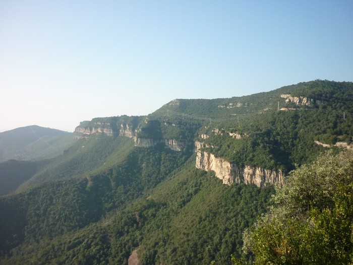
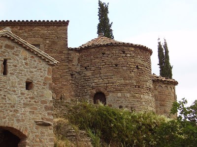
The Gavarresa stream, which flows throughout the Oló district, and the spectacular cliffs that have been formed there. Also noteworthy is the Sant Nazari hermitage and the natural surroundings, full of small valleys and hill ranges that outline a very special landscape.
Technical data and signposting:
- Distance: 27 km
- Climb: +660 m
- Means: by mountain bike or on foot
- Time: about 5 hours
- Route: 90% track and 10% path
- Suitability: average cyclist
- Signposting: painted markers
- Route colour: blue


