Circular Route around Granera
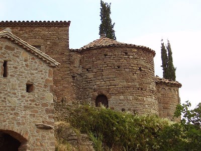
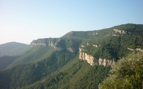
A highly picturesque route which perfectly combines three extremely interesting factors. Firstly, it has a historical element as we will see everything from a dolmen to a 10th century Romanesque chapel and an 11th century castle. If that’s not enough, we will also see some fantastic, predominately Mediterranean, forests and to round it off we will have some fantastic views of a large part of Catalonia.
Starting point: Santa Cecília (car parking space next to the chapel)
Type of route: Hiking. Some parts can be done on bicycle. Not suitable for cars or 4x4s.
Itinerary: Santa Cecília chapel, Granera, Bigues, Girabau, Vilarrúbia, Roc Castellar, el Castell, Granera, Santa Cecília.
Difficulty: Route recommended for people who are used to hiking. There are some narrow tracks with certain difficult sections due to their steep gradients and the fact that they are in a deteriorated condition.
Description: We depart from the Santa Cecilia chapel, right at the entrance to the village of Granera, and we take the path towards the village. At the beginning of the village we take the path to the left towards Monistrol de Calders and follow the markers for the Ronda del Moianès (Moianès Circle) the GR 177, marked by white and red signs.
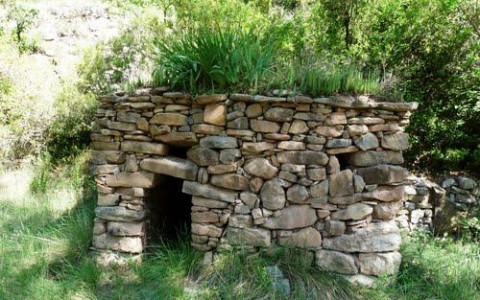
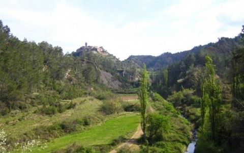
We arrive at the top of the rock and from here take the path which goes to the right through the forest. We arrive at Can Girbau, a traditional Catalan masia (farmstead), and carry on along the same path whilst enjoying the fantastic views of the La Mola mountain. After around an hour’s walking, we arrive at the Girbau kiln, and a little further up we will find the Girbau cabin, a very well conserved shepherd’s hut. We continue along the main path until we join a wider path which we take to the right, once again following the GR markers and signs. To the left, we will pass by the Vila- rúbia property. We carry on along the same path (if we went to the left we would arrive at Ca la Manyosa). After the Ca La Manyosa fork, we could turn right towards Roc Castellar but we carry straight on along the path until we reach the l’Angulló fork. We carry along the path until we leave the forest and in the distance we will be able to see the village of Granera once again.
+INFO
Longitud: 10,84 Km. Desnivell: 267 m. Durada: 2h. 45m. Dificultat: Baixa


