Castellcir

Great attractions of a small village
Located in the south-east of the region of Moianès, it has an area of 34.50 km2, including the Marfà enclave (annexed to Castellcir in 1845).
Castellcir used to be a traditionally farming village, with a series of dispersed farms and a cluster of houses inhabited by artisans and smallholder farmers, along a street named l’Amargura (Bitterness).
Castellcir has grown around this street and is currently a village where farming and livestock farming sectors, green and agro-food industries, and services coexist.
In Castellcir, we can find the headwaters of the Tenes river, which flows into Besòs, and the Fontscalents brook, which flows into the Llobregat river.
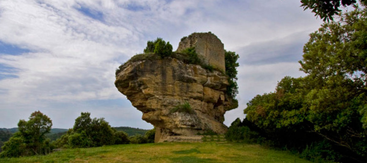
Crest lines, hillocks, torrents, woods and crop lands shape the landscape of the whole area.


